
Where Virginia Beach Past Residents Appear
One address can connect to records created for different purposes and eras. The current assessor card establishes the parcel’s GPIN, situs address, mailing field, legal description, and assessment context. The clerk’s land-record trail can identify recorded conveyance parties. Directories, census schedules, newspaper notices, and obituaries can offer dated household clues. Virginia Beach Accela and historical aerials can help explain a structure, road, or subdivision change, but neither establishes who lived at an address.
| Source | Years it covers | Where held | What it shows |
|---|---|---|---|
| Assessor property card | Live data with FY26/FY27 headings | Virginia Beach Property Search | Current owner fields, GPIN, situs, mailing, legal description, and land data |
| Current deed chain | Online cutoff not located | Circuit Court Clerk and SRA | Conveyance parties, dates, legal descriptions, book/page, and instruments |
| Princess Anne deeds and court records | 1691 onward; index periods through 1880 located | Library of Virginia microfilm and archive routes | Earlier owners, land language, heirs, disputes, and partitions |
| Directory leads | 1936 telephone lead; 1962-1999 city runs; 1971/1972 confirmed | VBPL, Brown Archive, Internet Archive, and FamilySearch | Dated address-to-occupant or subscriber clues |
| Permits and aerials | Public history and viewer-selected imagery | Accela and City Map Center | Project dates and physical parcel context, not occupancy proof |
Use the source that best matches the era. A recent question usually starts with the GPIN and the latest recorded instrument. A nineteenth-century question belongs in the Princess Anne material, even when the land is now within Virginia Beach. The confirmed 1971 and 1972 volumes are useful waypoints, while the wider directory lead list must still be checked against a catalog.
Start Virginia Beach Previous Residents With a GPIN
The Virginia Beach Property Search is the practical first stop for an exact present address. Its address input leads to the property record card, where the GPIN is the key link among assessor, map, permit, and parcel data. Save the GPIN, situs address, legal description, and map book/page before opening another system. A mailing address is only a tax-contact field. It may belong to a distant owner, agent, business, or post-office box and cannot establish who occupied the parcel.
| GPIN | Parcel identifier used to join the assessor record, GIS layers, permits, plats, and tax detail. |
|---|---|
| Situs address | The physical parcel location and the preferred start for map and permit queries. |
| Legal description | Lot, block, acreage, or deed language that often survives a street-number change. |
| Map book/page | A pointer toward recorded plat and legal-description material. |
The property portal can search by PIN or address and offers map display, result-card links, and configured export controls. It does not make owner fields proof of residency. Treat its result as the current parcel layer, then use the record date when comparing it with older evidence.
Virginia Beach Deed Chains for Past Residents
The Circuit Court Clerk’s real-estate records supply the current conveyance starting point. Capture the instrument number, recording date, grantor, grantee, deed type, legal description, book/page, and any lien or plat reference shown. Then use the prior grantor as the next earlier search name. The clerk holds deeds, mortgages, plats, judgments, and UCC financing statements, while Virginia Secure Remote Access may involve separate registration or subscription rules for index and image access.
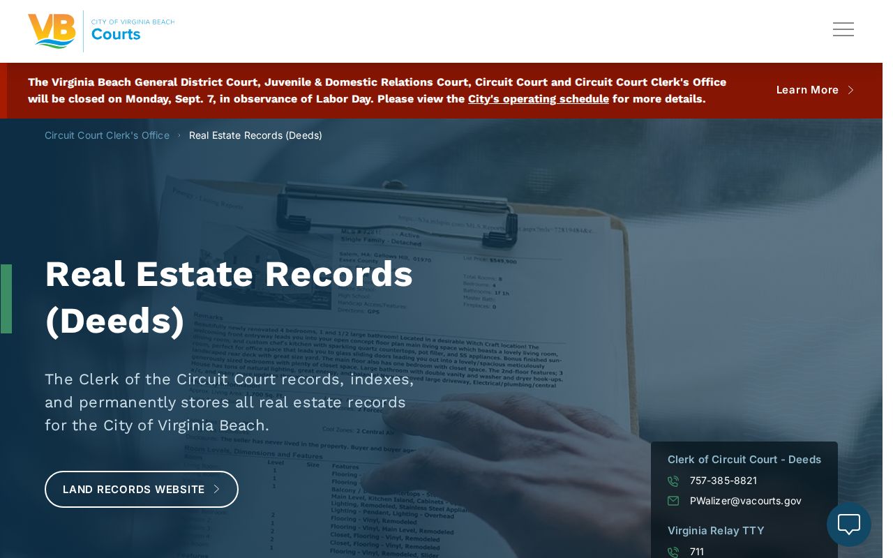
The image is sourced from the Clerk’s real-estate records page, which directs requesters to the assessor GPIN. Deed copies cost 50 cents per page and certification costs $2; mail requests need payment and a stamped self-addressed envelope.
- Save the GPIN and legal description from the present parcel record.
- Locate the latest recorded deed or ask Land Records for the copy route.
- Copy its grantor, grantee, date, instrument, and legal-description details.
- Search the earlier grantor as a grantee, then repeat the same capture process.
- Move to archive or microfilm channels when the chain reaches predecessor records.
- Grantor
- The party transferring an interest in the recorded instrument.
- Grantee
- The party receiving that interest.
- Chain of title
- The sequence of recorded transfers traced backward through related instruments.
- Legal description
- The lot or land wording that controls when an older street address no longer matches.
Virginia Beach Address Changes and Legal Descriptions
Historic research fails when a modern street number is treated as permanent. A legal description, subdivision lot/block, GPIN, plat, and map book/page are often stronger bridges across changed labels. The research found no official citywide street-renumbering schedule or address-conversion map, so an unverified renumbering story should not be presented as fact. Compare a directory street index with a recorded plat, historic aerial context, and the old deed wording instead.
GIS adds visual context but does not settle the legal question. The City Map Center provides VBMap, parcel layers, open data, and a historical aerial viewer. Use imagery to see road, shoreline, subdivision, and parcel changes, then return to the recorded instrument for the evidentiary description. Note: A new structure on an old lot can create a fresh address trail without creating a new ownership chain.
Princess Anne Records for Virginia Beach Addresses
Virginia Beach is an independent city, yet its earlier records are tied to Princess Anne County, formed from Lower Norfolk County in 1691 and incorporated into the city in 1963. Run both place names at every archival step. The Library of Virginia’s Princess Anne County inventory identifies deed books and general deed indexes for 1691-1798, 1798-1827, 1827-1856, and 1856-1880, as well as order books, wills, church registers, and other county material.
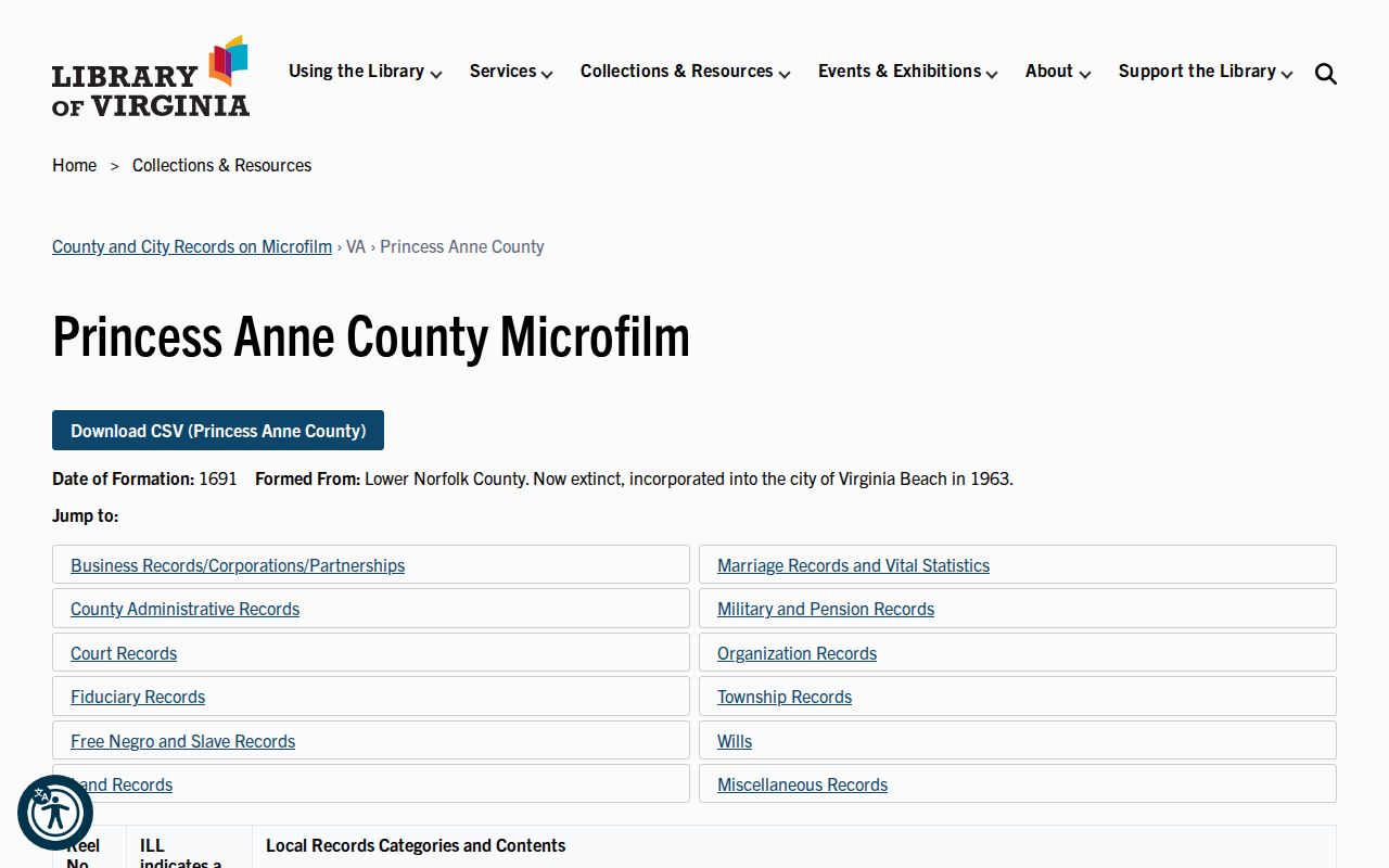
The Library of Virginia inventory image leads to the predecessor-jurisdiction record list. It is the appropriate fallback when a present-day clerk search does not expose an early deed, court book, or locality label.
Princess Anne Chancery Records Index coverage is identified for 1752-1935. A chancery cause may add heirs, guardians, partitions, land disputes, or wills and plat indicators that make a deed chain easier to interpret. Around 80 laminated volumes are also held in the clerk vault. Preservation can delay access to a book, so a missing scan is an access question until LVA or the clerk confirms otherwise.
Virginia Beach Past Households in Directories
A directory entry supplies a time-stamped clue, not a final identity claim. Start with a confirmed 1971 or 1972 volume, preserve the exact spelling and address, and then compare adjacent editions. A reverse or criss-cross section, when available, starts with a street number and may identify a listed occupant or subscriber. That is helpful for learning who lived here before, but it does not convert a directory name into a deed owner.
Use the Virginia Beach city directory collections for the detailed shelf, rights, and entry-reading context. Pair a listing with a deed, assessment, permit, newspaper, obituary, or census before assigning a household connection. Obituary addresses can be last known, family, or funeral-related addresses and require the same careful cross-check.
Virginia Beach Previous Residents Between Census Years
Directories can fill some of the wide spaces between federal census dates. Build a small dated line for the address: directory edition, printed name form, address, census household, deed party, and supporting newspaper or obituary lead. The result should show separate columns for a recorded party and a household clue, because the two roles can differ on the same date.
- Choose the exact directory year and transcribe its address entry.
- Find the applicable federal census schedule and preserve the locality label used there.
- Compare household composition with the directory spelling and street form.
- Use the deed, probate, or chancery record to test a transfer or estate event.
- Mark unresolved gaps rather than assigning a person to the parcel without support.
Census locality can appear as Princess Anne County, Norfolk, or Virginia Beach depending on boundary and year. Pair the locality with street and household context. The research did not locate a Virginia Beach-specific census boundary crosswalk, so do not invent one.
Virginia Beach Permits and Aerials
Accela adds a date layer to a property trail. Public permit searches can use a site address or parcel and may show a record type, date, status, applicant, contact, or contractor. Those are permit roles, not proof of either ownership or occupancy. The Virginia Secure Remote Access route is the related statewide land-record channel. A permit can still help distinguish an addition, reconstruction, lot change, or new structure from a simple change in a printed directory entry.
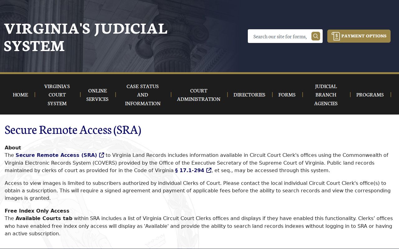
The image comes from Virginia Secure Remote Access, which explains the statewide land-record access route. Compare its index and image rules with the clerk counter or mail route when an online document is unavailable.
Historical aerials provide physical context for the same question. They can reveal a road shift, subdivision creation, shoreline change, or a demolished structure, but they are not a resident record. Use them beside the GPIN, plat, legal description, and dated directory entries.
Virginia Beach Past-Household Limits
Previous owner and previous resident are not interchangeable. A deed may identify a transfer party, while a directory or census offers a dated household clue. A chain can skip an apparent transfer where an estate, legal entity, missing book/page, or changed description is involved. Directory coverage is not annual everywhere, and the local lead list for the 1930s through 1990s needs edition-level verification.
Lawful use. Virginia Beach address history supports family research, estate context, and personal historical interest. Do not use scattered records to track, harass, or harm a living person.
Keep the source label and date beside every conclusion. That habit preserves the useful distinction between an archival lead, a recorded conveyance, a current parcel field, and a verified historical household.